Earth Now
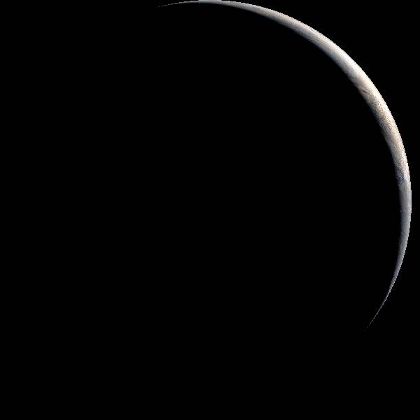
Earth as the satellites see it

On the focused image, plus and minus zoom in and out, the arrow keys move a zoomed disc, and Escape resets the zoom.
Himawari-9, AHI
True colour
Latest
Loop
What the eye would see from orbit, by daylight alone: the night side is black, with nothing blended in.
The observer
- Satellite
- Himawari-9
- Kind
- Earth-watching satellite
- Instrument
- AHI, the Advanced Himawari Imager: JMA's imager on Himawari-8 and 9, a near twin of the ABI, which scans the full disc in 16 channels every 10 minutes.
- Scene
- The full disc as seen from 140.7° E, 35,786 km above the equator.
Image: Japan Meteorological Agency, source: the Agency's website, under its terms of use.
Full-resolution original (601 px) from the provider
About these images
The Japan Meteorological Agency publishes these images under its Public Data License (Version 1.0), which asks one thing: “The user must cite the source when using the Content.” The credit above cites it. The provider's own page
This site last read the provider's list of images on Nov 8, 2026 at 4:36 PM UTC.
The site never invents an image or the instant it was taken, never presents one as Earth at this very moment (the newest is the Latest, with its instant and its age), and keeps no copy of its own: each image is fetched from the provider when a page asks for it and passed on as published.