Sentinel-6B, the European and US satellite that measures the height of the sea, entered operational service on 30 October, EUMETSAT announced. Its data are now available to users, and they carry on the high-precision record of global sea level that satellites began in 1992. EUMETSAT, which operates it for the European Commission’s Copernicus programme, says that record will now run into the 2030s. The satellite was launched on 17 November 2025.
In this Article
- Sentinel-6B
Earth-watching satellite
- Sentinel-6 Michael Freilich
Earth-watching satellite
It has one step still to take. Its twin, Sentinel-6 Michael Freilich, launched in 2020, is still the reference: the satellite every other sea-level mission is calibrated against. EUMETSAT expects Sentinel-6B to take over that role “in the coming months”. In September NASA, a partner in the mission, had put the handover “later this year”.
What its data are for
Sentinel-6B’s measurements reach weather services within about three hours. Scientists have received its fast-delivery data, which can serve weather forecasts, since 15 July, NASA says; since 30 October they come from an operational service. Forecasters use them to predict rough seas in Atlantic winter storms and Mediterranean cyclones, and how strong a hurricane will grow. Over months, the sea-level record feeds the seasonal forecasts of El Niño and La Niña. A radio occultation receiver on board adds the temperature and water vapour of the atmosphere to the same forecasts.
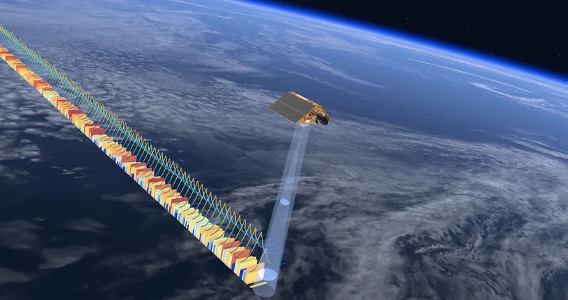
The sea-level record is also a measure of climate change. Global average sea level has risen by more than 11.5 cm since December 1992, and the rise is speeding up: 2.8 cm in the first decade, as much as 4.0 cm in the most recent one. The Sentinel-6 satellites map up to 95% of the ice-free ocean, and a high-resolution mode lets them measure close to the coast and over rivers and lakes.
Two satellites, 30 seconds apart
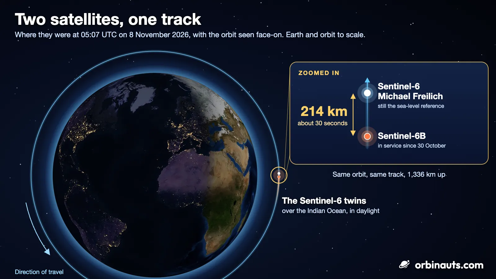
Sentinel-6B reached its final orbit on 16 December 2025, 1,336 km up and 30 seconds behind its twin. The tandem lets scientists calibrate the new satellite against the old one to within a fraction of a millimetre, so that the record runs on without a step when the handover comes. EUMETSAT expected the tandem to last about ten months; it is now in its eleventh month.
The pair still fly that way. On 8 November, Sentinel-6B was still about 214 km, or 30 seconds, behind Sentinel-6 Michael Freilich on the same track, according to Orbinauts: the tandem had not yet ended. The two can be followed on the live map.
What comes next
Once Sentinel-6B is the reference, Sentinel-6 Michael Freilich will move to a new orbit, ending the tandem flight. Its ground track will then fall between Sentinel-6B’s, giving the pair more complete coverage of the oceans. Neither EUMETSAT nor NASA has given a date for the move. Beyond 2030, the record is planned to pass to a third satellite, Sentinel-6C, which EUMETSAT said in December 2025 was under discussion among the partners.