A study traces brief GPS signal drops over Europe to Russian early-warning satellites
UT Austin and Stanford researchers link brief GPS drops on 75 days since 2019 to Russia's EKS satellites, and caught one, Cosmos 2546, in the act.
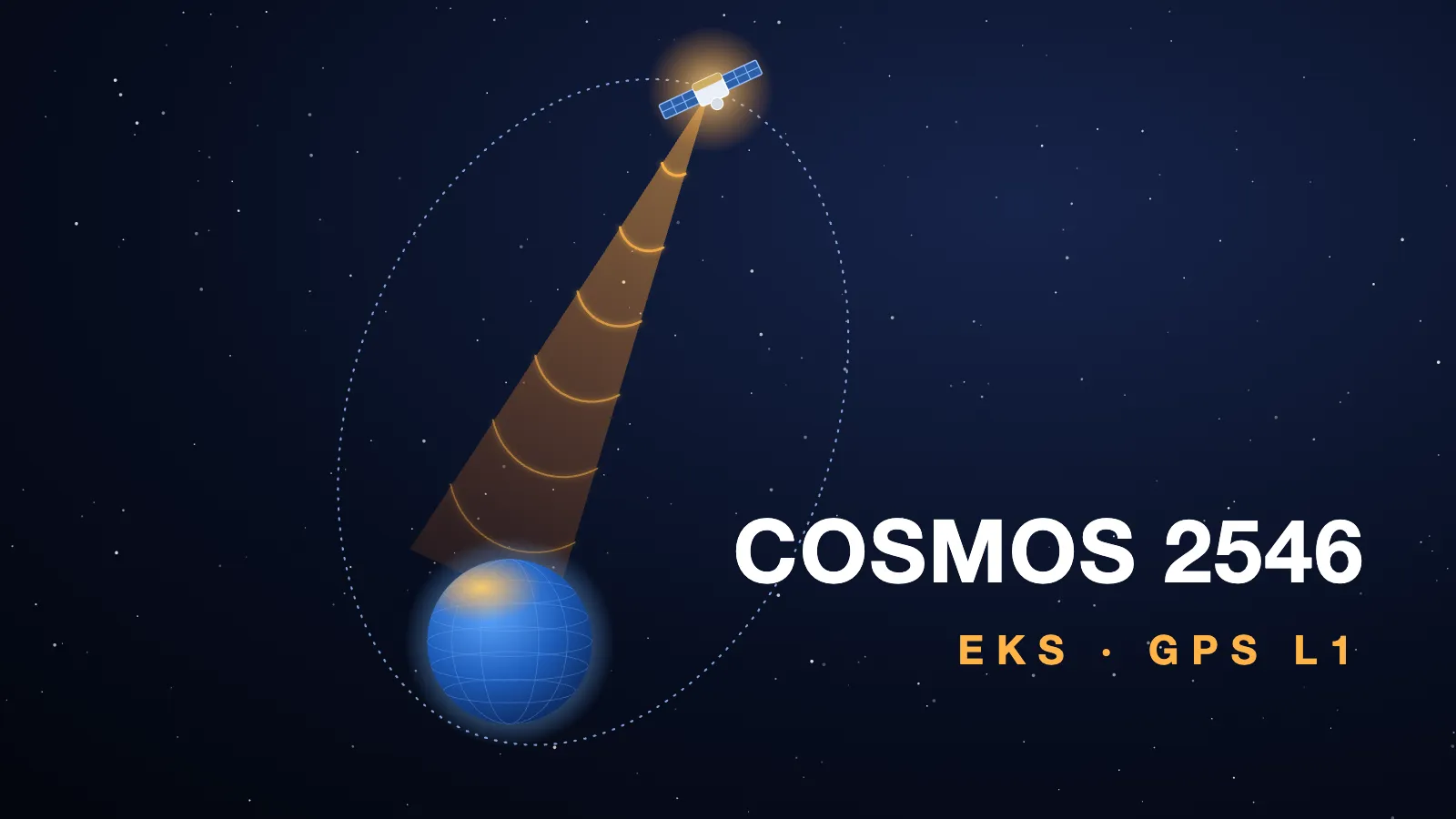
On 75 days since October 2019, GPS signals weakened for a few seconds at the same instant at reference stations across Europe, Greenland and Canada, and the source was in orbit: most probably Russia’s EKS constellation of missile early-warning satellites, according to a paper by Zachary Clements and Todd Humphreys of the University of Texas at Austin and Argyris Kriezis of Stanford University. On one of those days the authors caught a single satellite at it: Cosmos 2546.
What the stations saw
The authors read seven years of public data from 165 reference stations, most of them in the International GNSS Service network, which log the strength of every satellite signal they track once a second. On scores of occasions every GPS signal tracked on the L1 frequency, the band aviation, shipping and precise timing chiefly rely on, dropped at stations across the region within the same second, and recovered in less than 10 seconds. No transmitter on the ground or in an aircraft could reach stations that far apart, the authors write, hence a source in space.
They counted 75 days with at least one such event in which some station lost 5 dB or more, and 47 more with weaker ones. The largest was a 10 dB drop in signal against noise, a factor of ten, at the LAMA station in Poland in 2025. The Baltic region was hit hardest on almost every day. The events came overwhelmingly on working days and in working hours (UTC), which, the authors write, suggests human involvement; within a day the strong bursts were often spaced by a multiple of 150 seconds.
The interference sat centred on 1577.5 MHz, about 2 MHz above the centre of GPS L1, and was about 5 MHz wide, so Galileo’s E1 and BeiDou’s B1C signals, which share that centre, dropped with GPS. On 15 of the 75 days the GPS drop was followed by an equal one on BeiDou’s B1I signal, lower in the band, and a recording in February 2026 showed that second burst centred on 1558.5 MHz; the two bands never appeared active at once. Nothing of the kind has been seen near the GPS L2 or L5 frequencies.
One satellite, caught on 11 February
On 11 February 2026 at 05:36:30 UTC, two receivers built to record interference, one in Amsterdam and one in Trondheim, each captured 2.3 seconds of raw signal during a burst in the 1558.5 MHz band. The difference in when the burst reached each of them fixes a surface in space its source must lie on. The authors took every payload and unidentified object in the US catalogue that was above the horizon of every affected station, placed each one from Space-Track’s Elements, and only one fitted: Cosmos 2546, Catalogue number 45608, then far above the North Atlantic and more than 35° above the horizon for every station that saw the event. Even counting every other candidate as equally likely beforehand, the chance that it was the source came out indistinguishable from certainty. One Starlink satellite also fitted the timings, but it was over the Pacific, below every station’s horizon.
The authors set out the limits themselves. Strictly, the identification holds for the 1558.5 MHz burst during those 2.3 seconds; the 1577.5 MHz interference around it “almost surely” came from the same satellite. Cosmos 2546 was launched in May 2020, so it cannot explain the events of 2019, and it was not over Europe during some later ones. But during every event on the 75 days at least one EKS satellite stood more than 35° above the horizon for every station that saw it, so, they conclude, “it is highly probable that the EKS constellation is collectively responsible”.
The satellite
EKS, for Edinaya Kosmicheskaya Sistema, is Russia’s missile early-warning constellation, which the paper counts as six satellites in Molniya orbits. Cosmos 2546 goes round Earth every 12 hours on an orbit tilted 63.2° to the equator, from about 1,300 km at its lowest to about 39,100 km at its highest, according to the Elements we hold, dated 31 August. Its highest point falls near 63° north, where it moves slowest, so each orbit keeps it for hours high above the northern hemisphere. It can be followed on the live map.
What the paper does not say
It does not say whether the emissions are meant to jam. “If deliberate, it portends a qualitative escalation in GNSS interference”, the authors write, since an interferer in orbit can reach a whole continent at once. The paper measures signal strength at reference stations; it does not report what the drops did to receivers on aircraft or ships.
It is a preprint, posted on 2 June 2026 and submitted for review to NAVIGATION, the Institute of Navigation’s journal. It extends a conference paper the first and last authors presented in 2025, and notes that an ESA navigation programme project had briefly mentioned the phenomenon in 2023.
Sources
Cite this
Copy either form. The date is the date of the figures above, so it stays true even if you are reading a saved copy.
- In a sentence
- Cosmos 2546 goes round Earth every 12 hours and climbs to about 39,100 km, according to Orbinauts.
- As a footnote
- Orbinauts, A study traces brief GPS signal drops over Europe to Russian early-warning satellites, orbinauts.com/news/a-study-traces-brief-gps-signal-drops-over-europe-to-russian-early-warning-satellites, orbits from Space-Track, retrieved September 21, 2026.
- Under a chart or a table
- Source: Orbinauts (orbinauts.com), orbits from Space-Track